4 November 2026
Treasure Island campsite to Uretiti Campsite
27 mi/43 km
Our plan was to leave at 5, and we just about achieve it with a 5:15ish start. Getting up was rough, but now that I’m walking, I’m thrilled. I’ve tried to explain this to many people before: I wouldn’t necessarily consider myself a morning person because I don’t magically wake up feeling chipper and ready to start the day, but I do love being up in the morning. Especially the early morning, when things are still kind of dark and you get to watch dawn stretch her arms and rise slowly. Gray to pink to warm blue light of day. The birds are out. It’s crisp and cool. We walk.
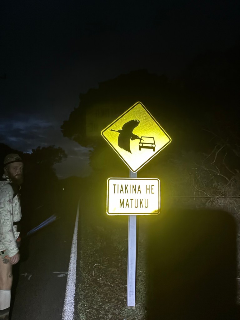
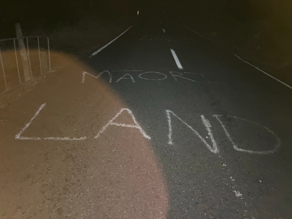
Lots of roads today. (What else is new?) This first road, to be fair, is one we’re doing to ourselves in order to avoid having to wait for low tide to cross the estuary. I’m not super fussed to miss that, to be honest. It mystifies me why the TA even goes through it if you have to wait for the right time. To me it kind of has the same vibe as Mahoosuc Notch on the Appalachian Trail: it’s a rocky, slow going, horrifying section in Maine that’s less than a mile long, and I still believe, seven years later, that people who say they enjoyed it just like to appear edgy and different. It was harrowing for me. Boulders upon boulders, hand over foot, the sound of water running below, calling to your poor trail-weakened ankles to slide right through. It pissed me off that the Appalachian Trail designers decided to go through Mahoosuc. Did they have to? No, absolutely not. But they were sadistic little freaks. Same goes for the estuary. That was a choice that was made. Well. Good news. We can make our own choices.
Point is, we walk on the road around it, and make good time too. We’re chatting pleasantly on the straightaways and around tight corners. We make a right turn onto gravel road, where we see an entire field of baby cows staring curiously at us, and then rejoin the trail a little ways up the road when it meets a beach. This is one of those sideways-leaning beaches, which is admittedly frustrating, but it’s also very beautiful, so I don’t mind too much.
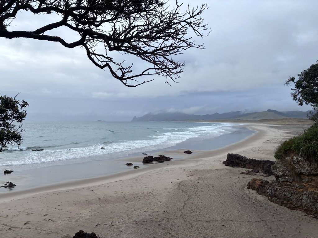
At the end of the beach we have a snack break at a picnic table. There’s a big ridge walk coming up, Te Whara Track, but it’s been raining intermittently and there’s also a big cloud around the top of the track that makes it seem silly to go up there. Good news: there’s a road we can take instead, which will also get us to the ferry in plenty of time!
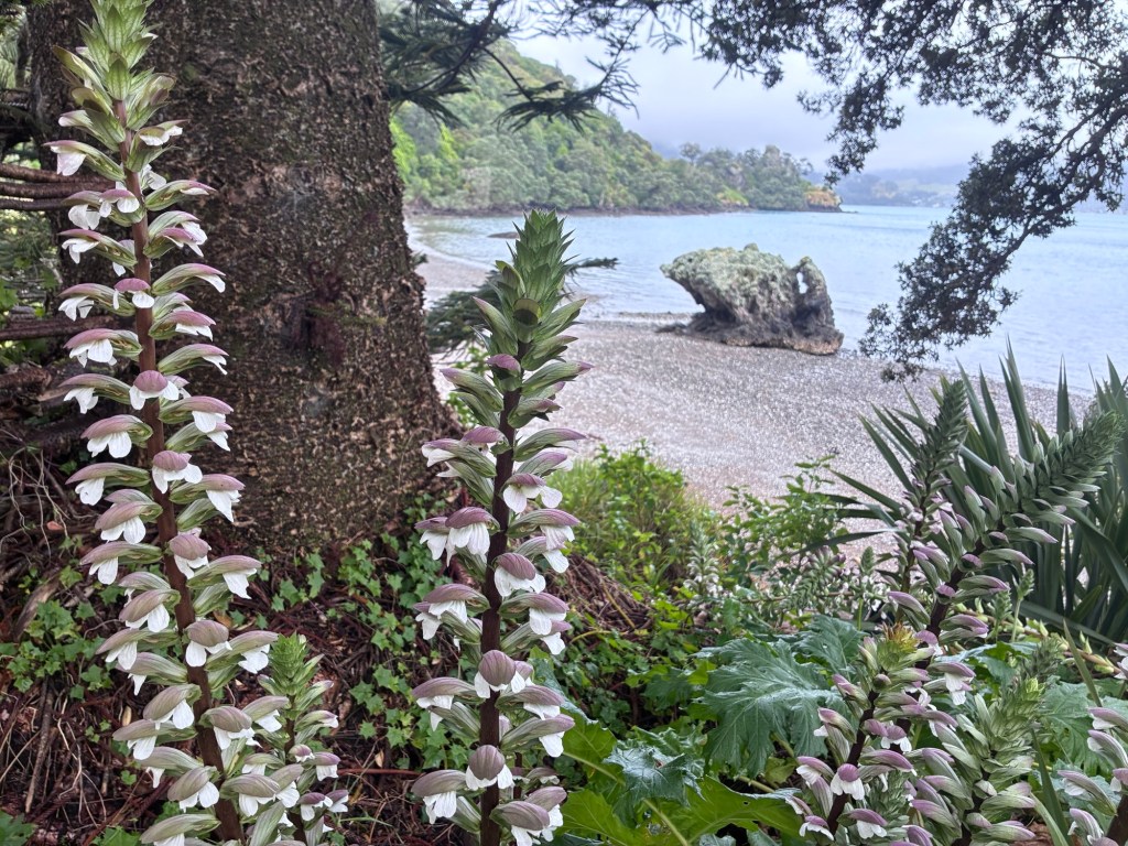
By the time we’ve finished the road and sat eating our lunch for the better part of an hour, the cloud up top still hasn’t cleared. We walk down the road, through some nice trail through a town park, and then arrive at the place where the water taxi will, I guess, come to get us. A little while after we get there, Thijs shows up, and then, just about when the taxi is set to leave, Jasper and Jack roll up too. Oh, did I mention that it’s raining at this point as well? There’s no shelter by the water taxi launch point, so I sit holding the tyvek groundsheet over my head, thinking of fried chicken sandwiches, comfy sweatpants, and the way clothes feel when they come out of the dryer.
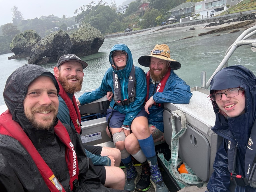
This water crossing is frustrating to me. It’s not a commercial ferry; it’s literally just one guy who takes people across to Marsden Point. For $100. He had two crossing times today, and we managed to squeeze in for the 2:00PM ride across, but only just, seeing as we were at max capacity with the five of us. This isn’t a large vessel; it’s a smallish boat with just an open deck, and he blasts it across the water until we’re on the other side. There. Now we made it. That piece of the logistical puzzle is done.
At Marsden Point we walk to a spot that Google Maps said would have food, but they do not have food. So we keep walking another few miles until we get to the town square of Ruakākā, which has a great grocery store. I sit eating my snacks by the side of the shop like my PCT goblin self would have done. Man, I yearn for desert right now. Oh, to be eating a yogurt outside of a shop in the sun. But alas, the pie in the rain is delicious as well.
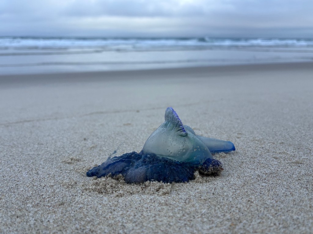
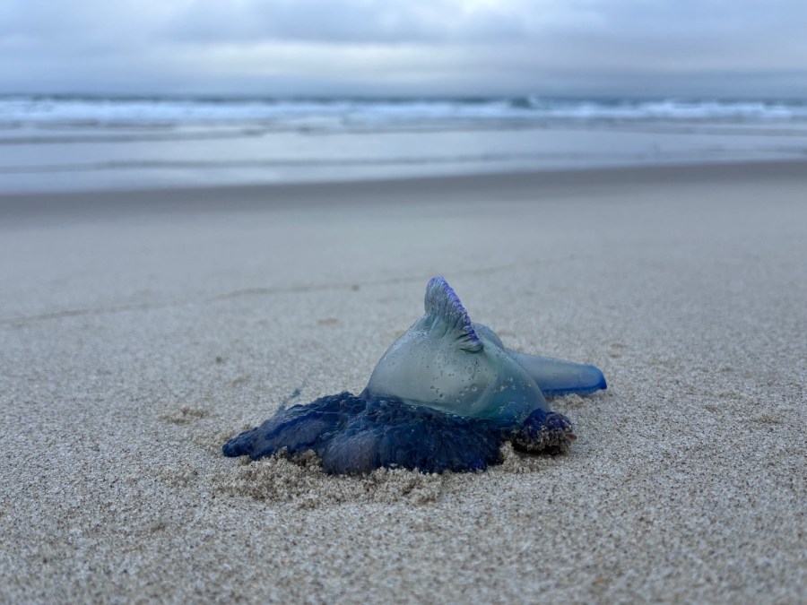
There’s maybe four miles left in the day when we head out and continue down the road. Mash goes ahead and I trudge as best I can, listening to the book, trying not to think about how the bottoms of my feet feel. The road turns into beach and I walk on that for a while, passing a bluebottle, aka Portuguese Man o’ War, at one point, which I nerd out about a little bit. It’s a really nice beach. I’m not even mad about the angle. It’s nice out, I’m on a beach in the evening in Aotearoa, and I’m walking to camp, however slowly.
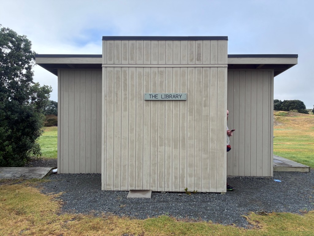
And the great thing about “however slowly” is that it eventually ends and you get there! In this case, my arrival point is Uretiti Beach Campsite, a free DOC one, which I walk towards with unconcealed relief. Mash has set everything up and is in the process of organizing for dinner. It’s a very nice place, with so many grassy flat patches, a beautiful privy, and a building marked “library,” which is more like a very clean three-sided lean-to with a shelf full of books. Books! We love the DOC campsites, man. We take our food stuff to the “library” and cook our pasta on the big metal table, which we then eat while sitting on the benches that line the walls. The feeling of being inside when it’s misting rain outside is unbelievably good. Maybe not as good as eating the chicken sandwich I’ve begun to fantasize about, but pretty good.

